Northwest Transmission Line
The Northwest Transmission Line (NTL) runs over 344 kilometers and connects power from Terrace to near Bob Quinn Lake.
Silverwood’s Responsibilities for this project included:
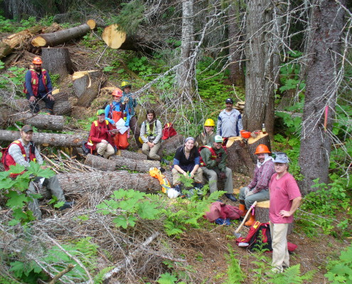
- Clearing Layout- Boundaries were defined using the BCHydro clearance tables. Silverwood laid out over 70km of clearing boundry during the Spring/Summer of 2011
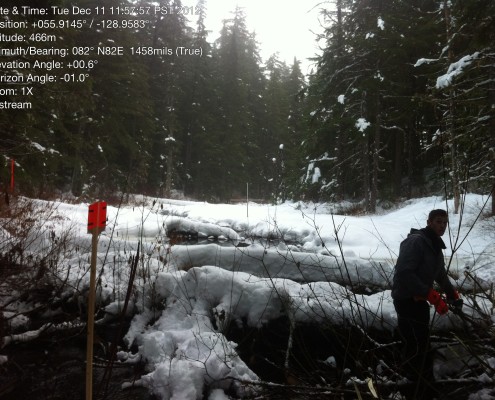
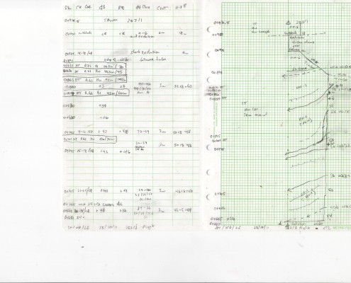
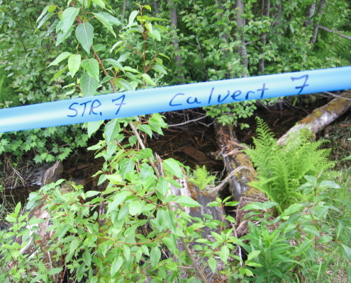
- Stream Assessment s- every stream encountered was measured and classified according to the Ministry of Forests-Stream Classification System.
- Danger Tree Assessment- These trees were identified using the BC hydro Danger Tree Assessment tables
- Riparian Management Assessment- Riparian management areas were identified and classified using BCHydro standards. Appropriate boundaries were laid out with each water body
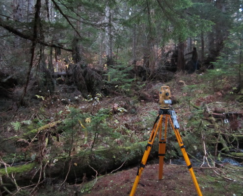
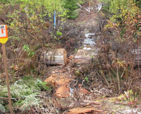
- Road Layouts-Silverwood crews reconnaissance then traversed over 40 km of new roads for the NTL access.
- Road upgrades and prescriptions- Over 20 road upgrade prescriptions were completed to gain access to the tower sites
- Timber Appraisal and Valuation
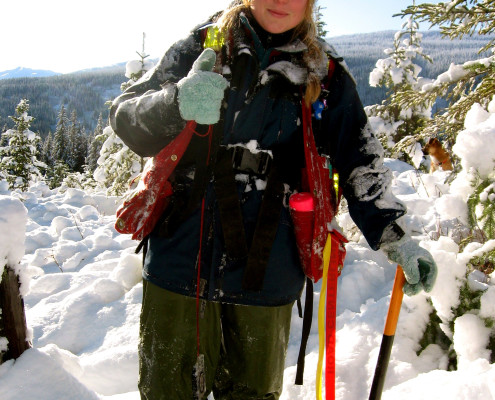
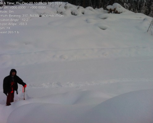
- Guy Anchor Layout- Approximately 150 km’s and 600 towers of guy anchor layout was completed during the winter of 2012
- Mapping- Using ArcGIS all boundaries, riparian management zones, danger trees, streams, roads, culverts and wildlife habitat areas were mapped over the 70 km distance.

