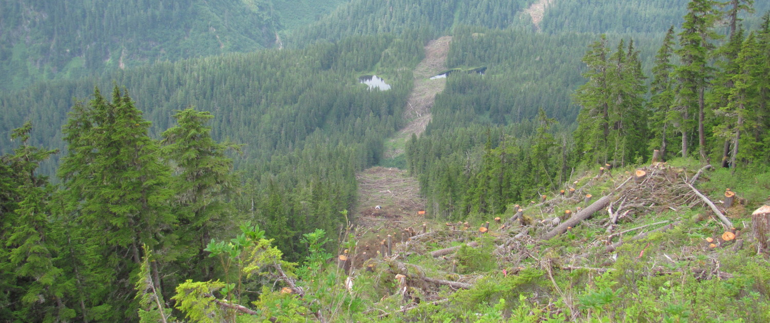
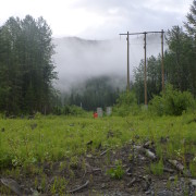
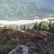
The Long Lake Power Line runs approximately 12 kilometers and connects power from the Long Lake dam to a substation just east of Stewart BC.
Silverwood’s Responsibilities for this project included:
- Clearing Layout- Silverwood laid out over the boundaries over the entire span of this line using the BCHydro clearance width tables.
- Danger Tree Assessment- These trees were identified using the BC hydro Danger Tree Assessment tablesRiparian Management Assessment
- Riparian management areas were identified and classified using BCHydro standards. Appropriate boundaries were laid out with each water body
- Mapping- Using ArcGIS all boundaries, riparian management zones, danger trees, streams, roads, culverts and wildlife habitat areas were mapped over the 70 km distance.

