Geomatics
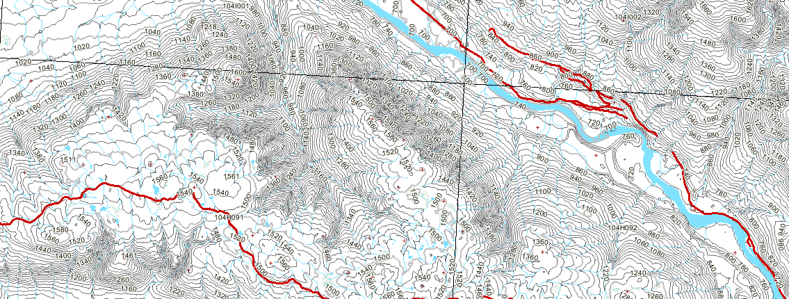
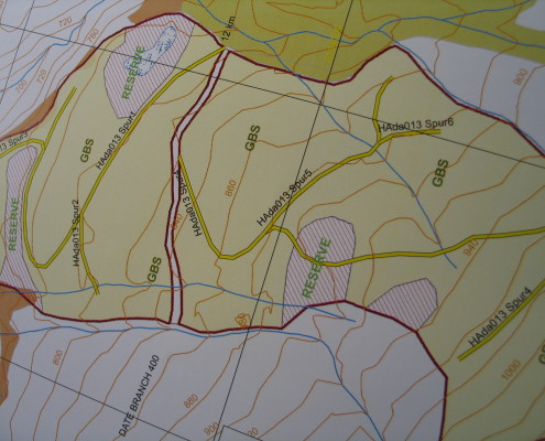
Silverwood’s leading edge GIS team offers an extensive range of geospatial services for clients in industry and government. We provide efficient and quality data management services with submissions that are generated in well organized formats and in a timely fashion, and we can provide expert resources and application to a range of sectors including the environment, forestry and development.
We have the knowledge and resources to help with all your mapping and data needs.
Key Services Include:
-Project mapping
-Spatial & LiDAR analysis
-GPS & RTK
-Database analysis
-Electronic Forest tenure submissions
Data Submissions
Silverwood electronically submits digital information to required industry or government data bases including:
-GENUS
-RESULTS
-ECAS
Computer Assisted Drafting (CAD)
-AutoCAD
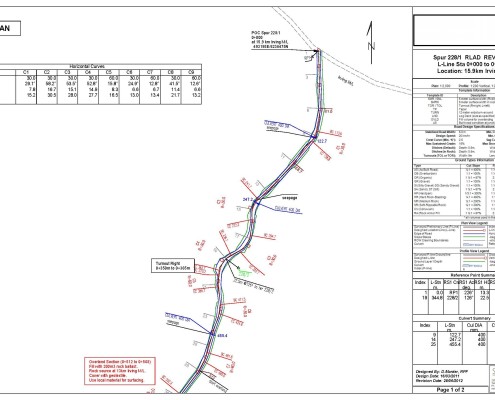
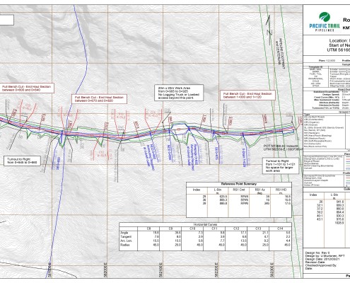
-Softtree RoadEng For Windows (V5)
-ESRI ARc-Map (V10.2): A GIS-based inventory drafting system

