• Facebook
Phone: (250) 635-0766
Silverwood Consulting - Forestry & Environmental Management Consultants
  • Home
  • About Us
    • Mission
    • People
    • Health & Safety
  • Contact Us
  • Our Work
    • Sectors
      • Forestry Sector
      • Mining Sector
      • Oil & Gas Sector
      • Power Sector
  • Services
    • Forestry
      • Forest Development and Engineering
        • Media Room
      • Forest Health and Research
      • Silviculture
      • Strategic Analysis
    • Environmental
      • Environmental Management
      • Environmental Assessments & Permitting
      • Fish Habitat Assessment & Identification
      • Vegetation Inventories
      • Bird Surveys
      • Reclamation & Restoration
    • Project Managment
    • Geomatics
    • First Nations Liason
  • Projects
    • Vegetation Management Trials
    • Nalbeelah Road Re-alignment
    • PNG Looping
    • Pacific Trails Pipeline
    • Long Lake Transmission Line
    • Long Lake Transmission Line Breeding Bird Surveys
    • Northwest Transmission Line
    • Gitzyon Creek Slope Stabilization-Reclamation
    • NTL-Sediment and Erosion Control
    • Massett Tree Inventory and Bird Survey
    • Spruce Beetle Probing
    • Breeding Bird Nest Surveys
    • Date Creek Late Seral Herb Survey
    • Kitsumkalum Nation – Advancing Their Data Collection Methods
    • Raptor Survey
    • Rare Plant Survey
  • Join Us
    • Job Posting
    • Why Us
    • Testimonials
  • Menu Menu

Northwest Transmission Line

You are here: Home1 / Northwest Transmission Line

Northwest Transmission Line

The Northwest Transmission Line (NTL) runs over 344 kilometers and connects power from Terrace to near Bob Quinn Lake.

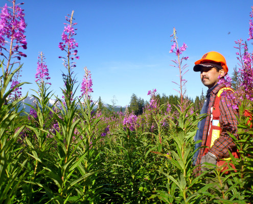
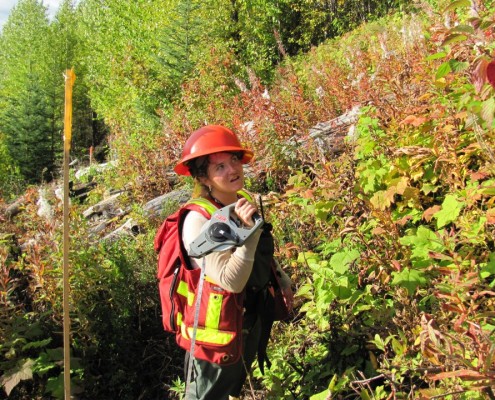
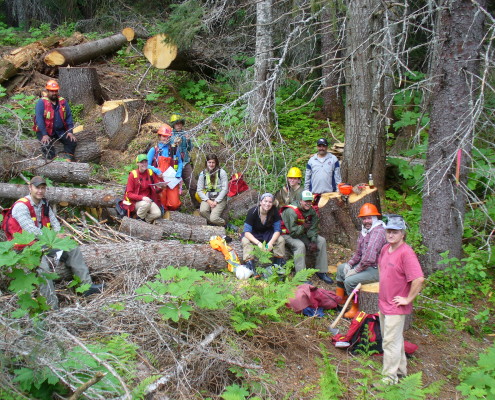
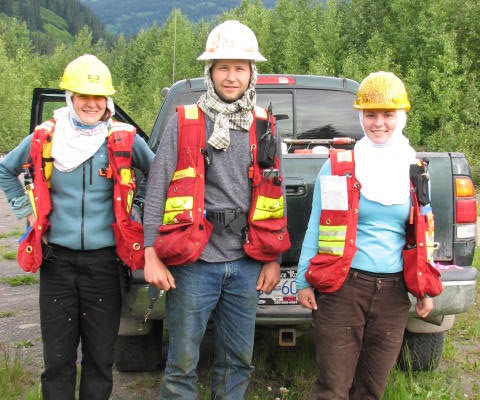
Silverwood’s Responsibilities for this project included:

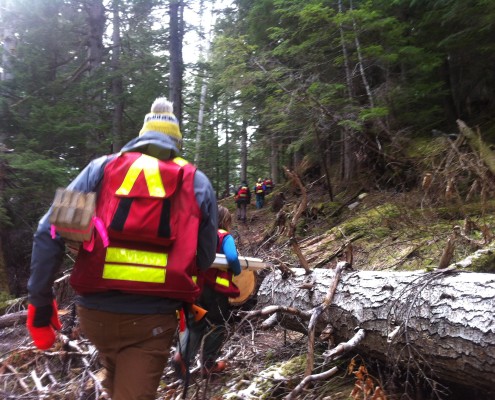
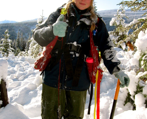
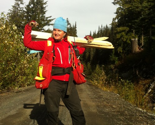
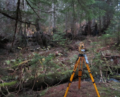
  • Clearing Layout- Boundaries were defined using the BCHydro clearance tables.  Silverwood laid out over 70km of clearing boundry during the Spring/Summer of 2011
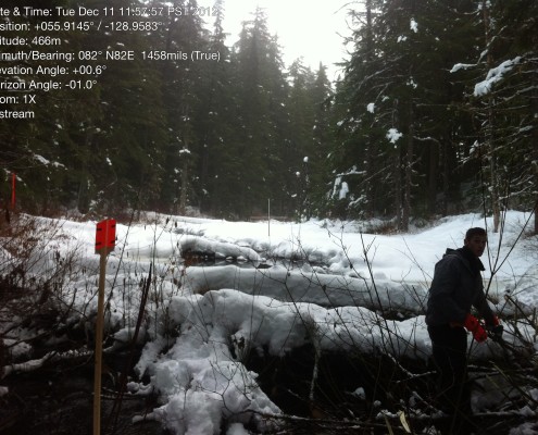
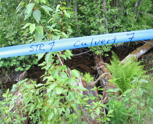
  • Stream Assessment s- every stream encountered was measured and  classified according to the  Ministry of Forests-Stream Classification System.
  • Danger Tree Assessment- These trees were identified using the BC hydro Danger Tree Assessment tables
  • Riparian Management Assessment- Riparian management areas were identified and classified using BCHydro standards. Appropriate  boundaries were laid out with each water body
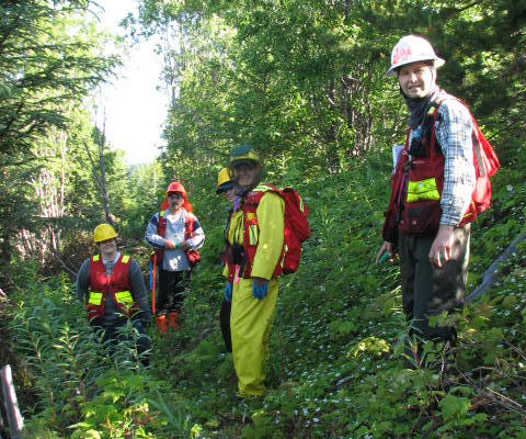
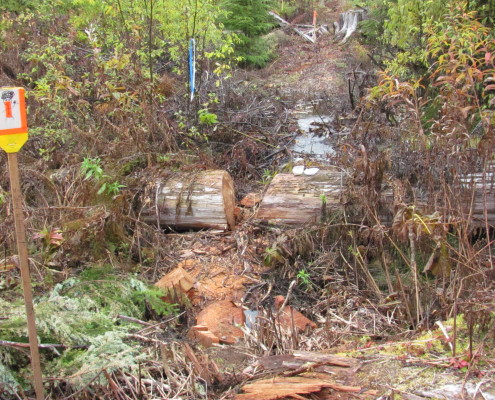
  • Road Layouts-Silverwood crews reconnaissance then traversed over 40 km of new roads for the NTL access.
  • Road upgrades and prescriptions- Over 20 road upgrade prescriptions were completed to gain access to the tower sites
  • Timber Appraisal and Valuation
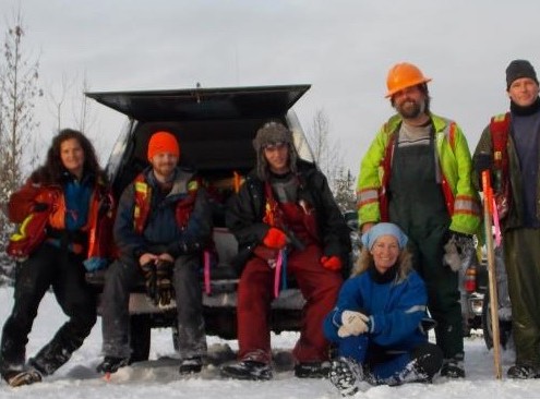
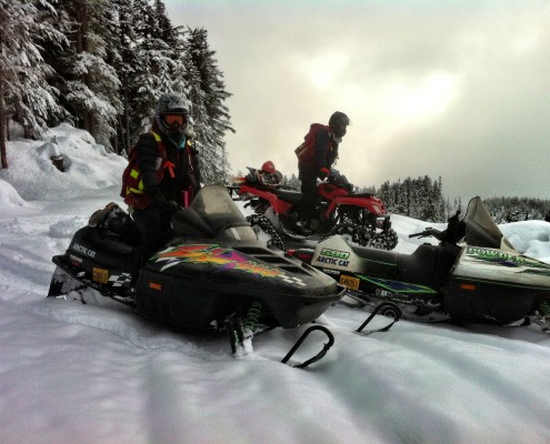
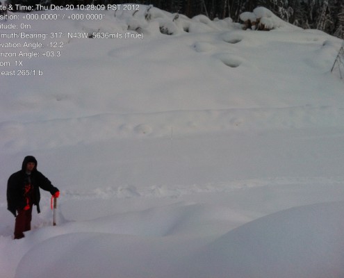
  • Guy Anchor Layout- Approximately 150 km’s and 600 towers of guy anchor layout was completed during the winter of 2012
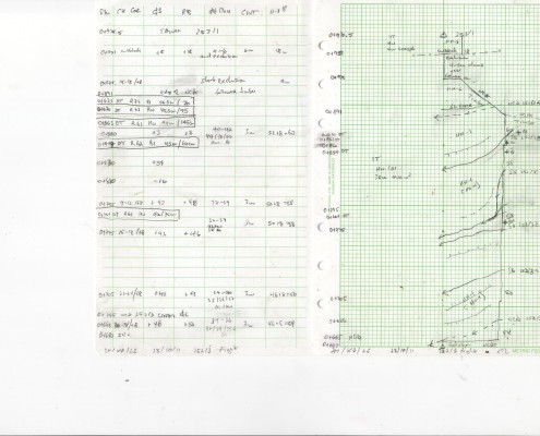
  • Mapping- Using ArcGIS all boundaries, riparian management zones, danger trees, streams, roads, culverts and wildlife habitat areas were mapped over the 70 km distance.


About Us

  • Mission
  • People

Our Work

  • Sectors
  • Services
  • Projects

Join Us

  • Job Posting
  • Testimonials
  • Why Us

Silverwood Consulting

210 4644 Lazelle Ave.
Terrace, BC
V8G 1S6

P: 250-635-0766
  • Home
  • Contact Us
Copyright 2015 Silverwood Consulting. All rights reserved. - Website by: SOS
  • Facebook
Scroll to top